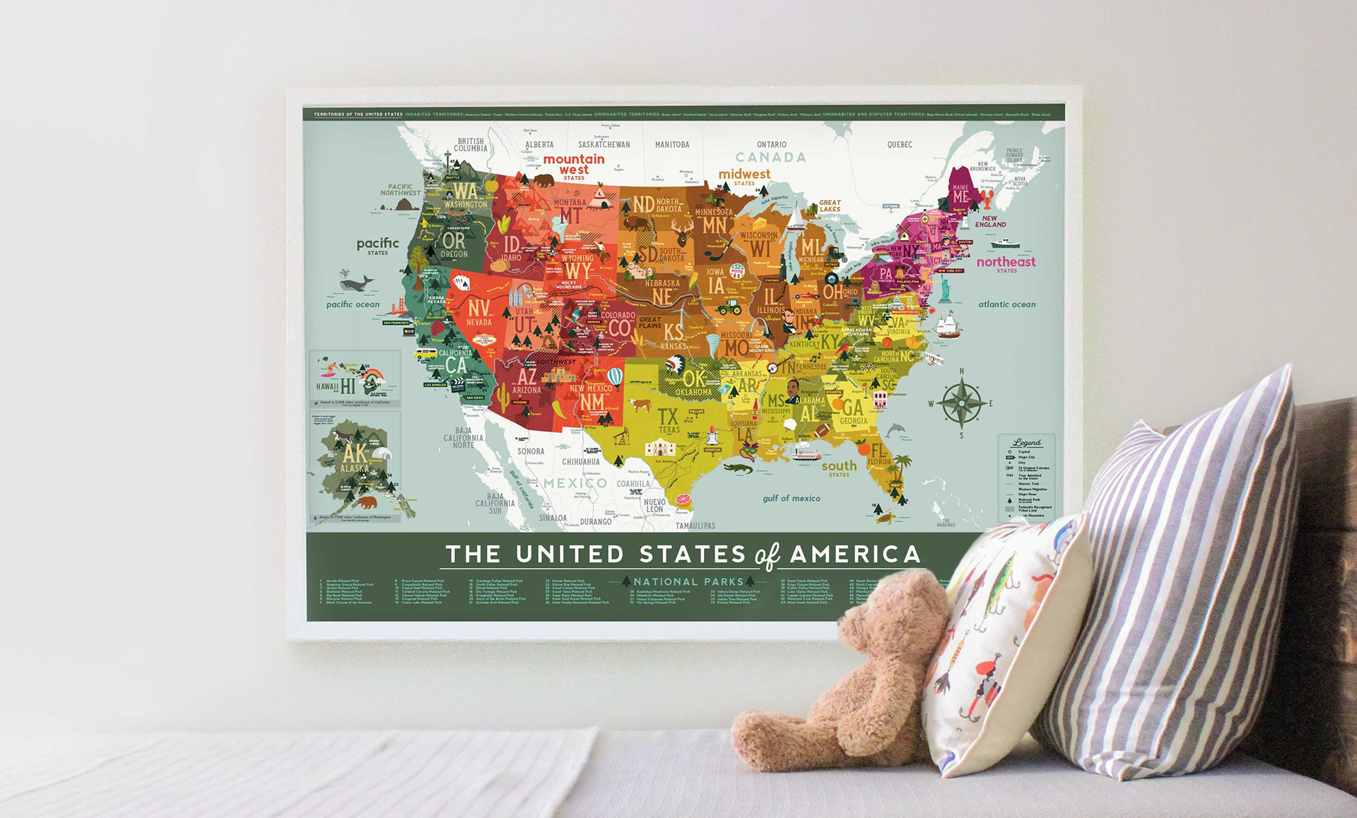
My search for an educational U.S. map for my son led me to design one myself. I had so much fun creating the map that it inspired me to illustrate more prints. From there, I founded Smarty Prints to create educational posters that feed curiosity and fuel the imagination.
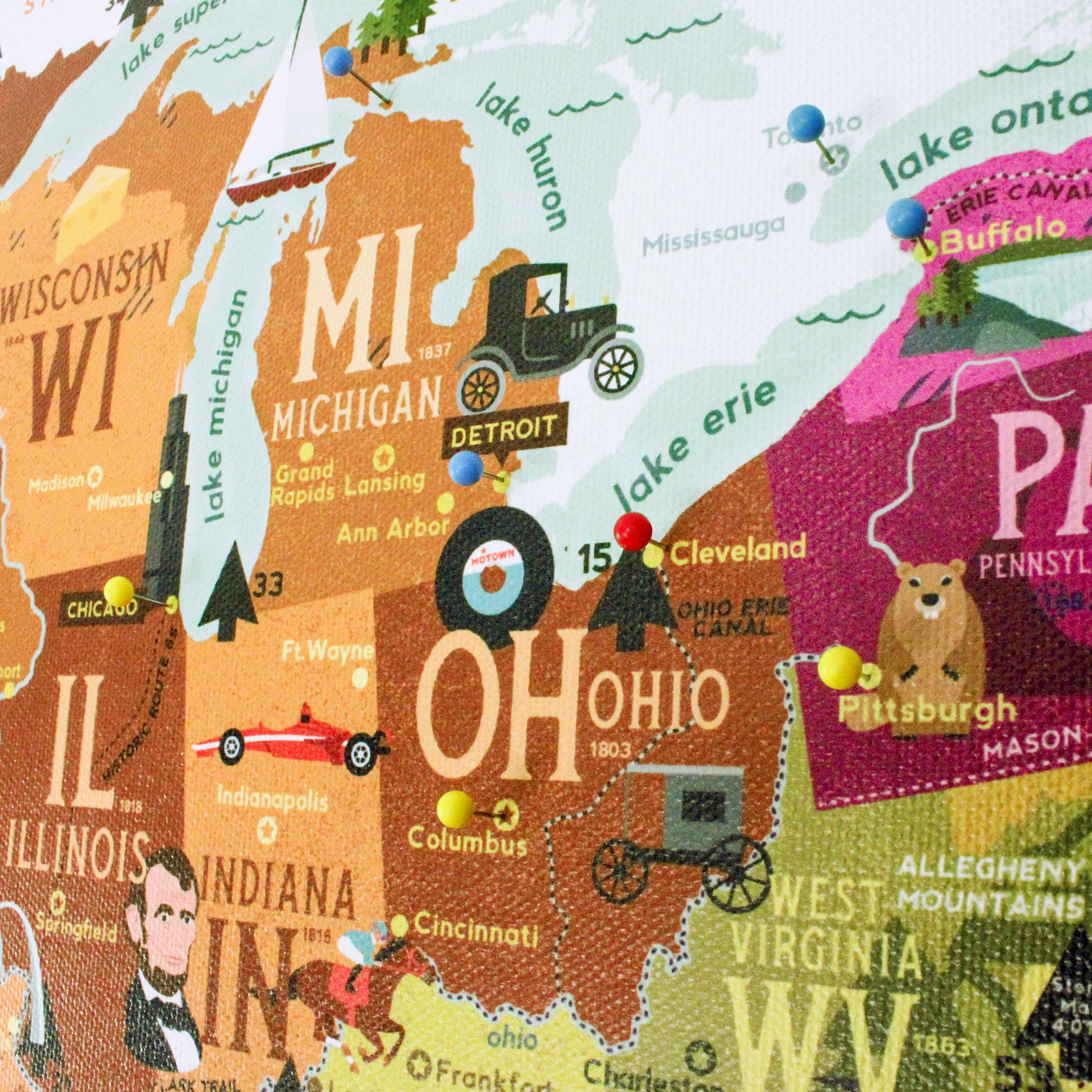
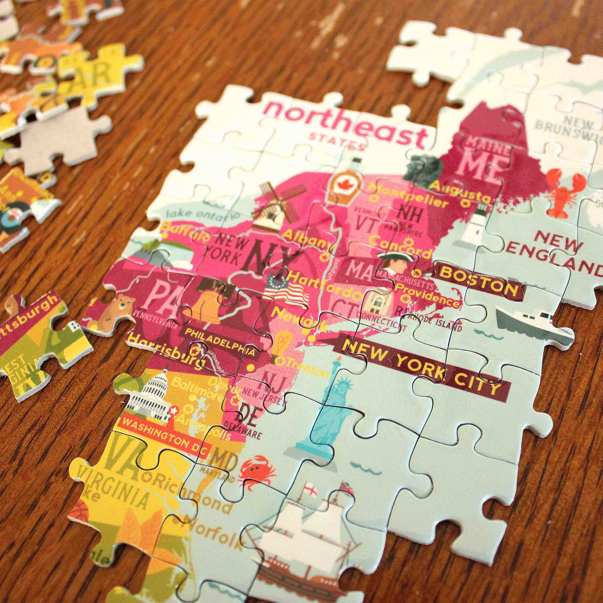
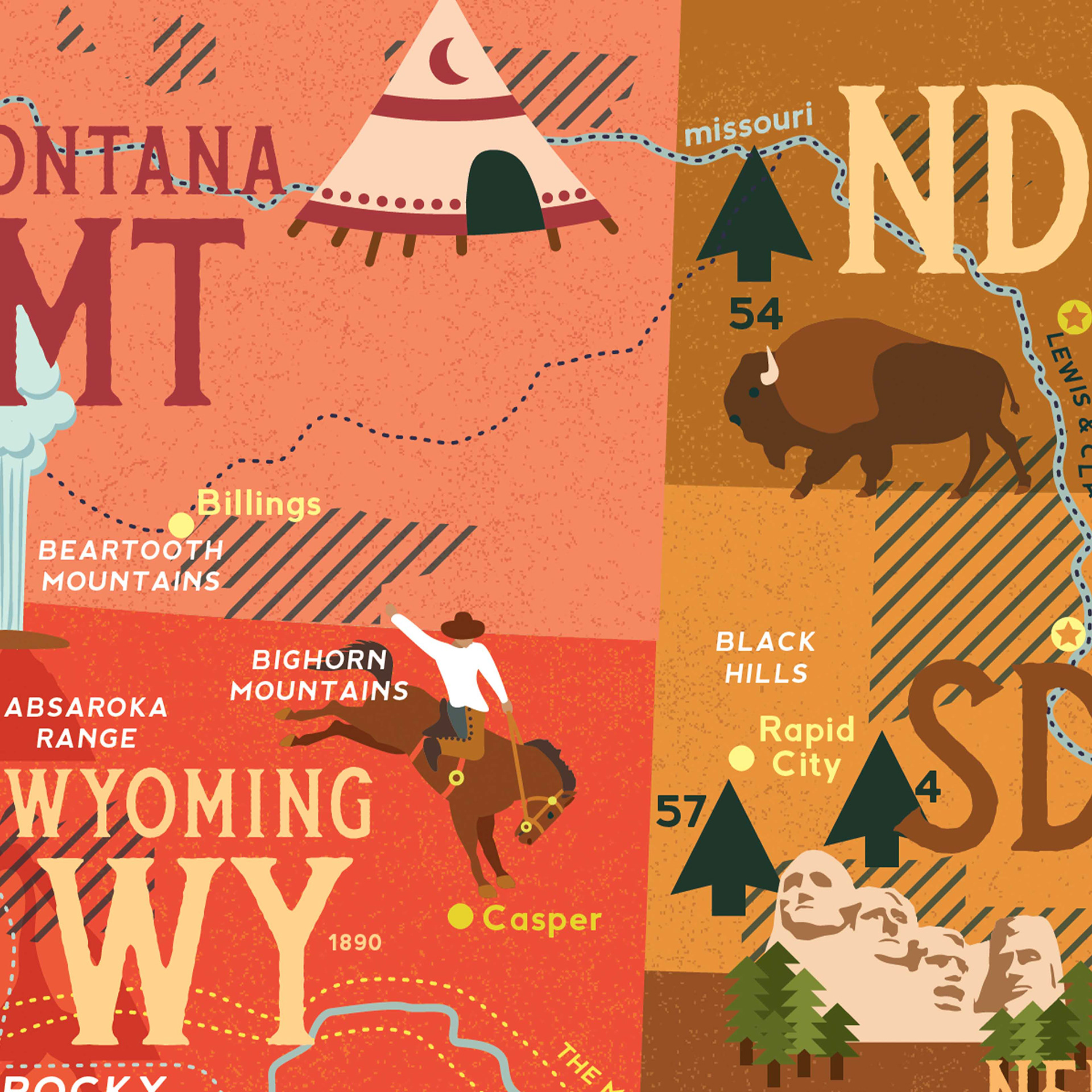
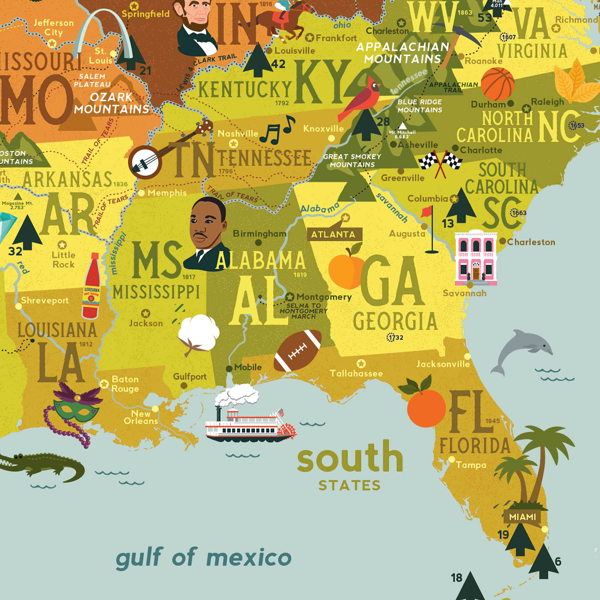
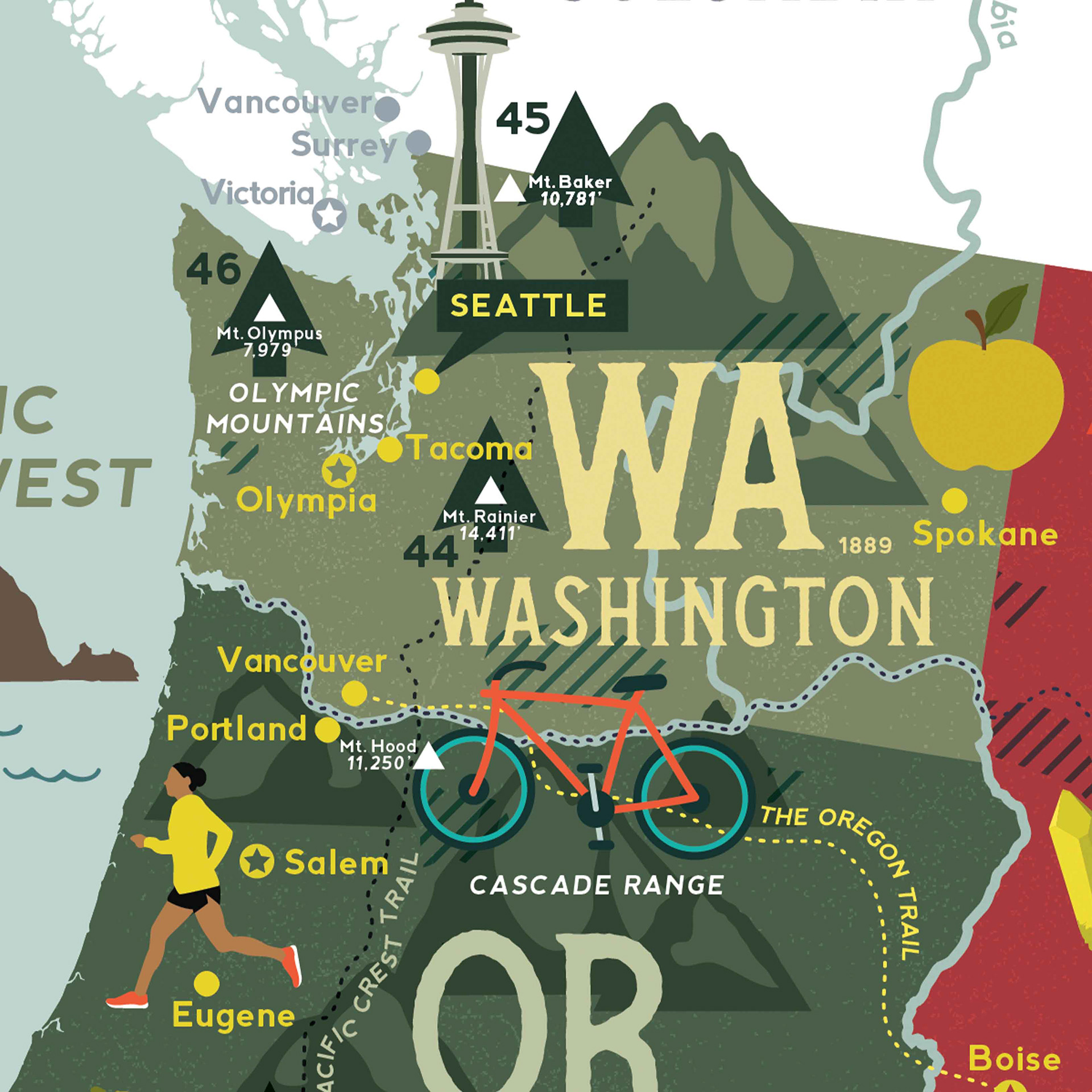
This map is a fun, detailed exploration of the United States. It showcases the 50 U.S. states, all broken down into their regions. With playful illustrations of each area's well-known attractions, the map is packed with facts, including state capitals, major cities, admission dates, historic trails, major rivers, mountains, national parks, and federally recognized tribal lands.